Early winter storms deliver healthy snowpack
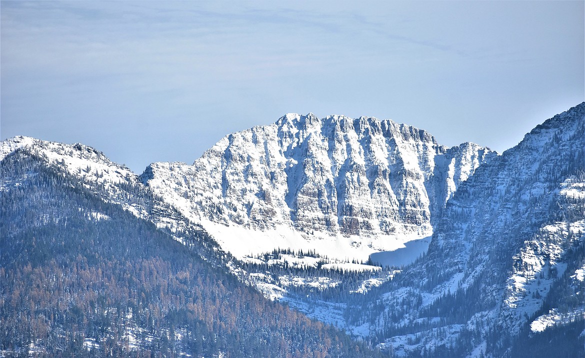
Early snows contributed to above-normal snowpacks across western Montana. (Photo by Walt Woyden)
The snow and rain that slicked roads and plagued drivers across western Montana in December also translated into a healthy early-season snowpack according to the U.S. Natural Resources Conservation Service, which monitors SNOTEL sites across the state. The latest report, released Jan. 9, shows snowpack in the Flathead basin at 117% of normal, while the Lower Clark Fork starts the year at 113%.
According to the NRCS press release, a late October winter storm brought widespread precipitation to many SNOTEL stations in Montana. That snow was within one to two weeks of the typical snowpack onset and earlier than the fall of 2021, which was nearly a month late in some locations due to an unseasonably warm and dry fall.
“Other good news is that November and December brought cool and wet weather, above normal precipitation, and snowfall across most of Montana. The result was a good start to the snowpack accumulation season and currently all major rivers basins have an above normal snowpack,” said Eric Larson, a water supply specialist with the NRCS.
The Upper Clark Fork and Bitterroot River basins have the lowest snowpack percentage at about 100% of normal, while the snowpack in the Milk River basin is the highest at 159% of normal.
Although the snowpack is currently at or above normal, it is still early in the winter and a lot can change, he cautioned. On Jan. 1 the snowpack is typically only about 35% to 40% accumulated for the season.
“In a perfect world, the snowpack reaches normal peak snow water equivalent levels in April or early May,” said Larson.
Peaking early generally results in less late-summer water supply, while peaking late can potentially result in flooding. Water supply specialists generally have a better idea of the spring and summer water supply outlook closer to April.
"While the snowpack conditions are currently above normal, several weeks without snow could leave us with a similar snowpack to last year in many basins. On Feb. 1, 2022, snowpack was slightly below normal, except in northwest Montana where it was above normal,” said Larson.
If snowfall continues at a similar rate to the last couple months, Montana snowpack could accumulate a buffer in the event of a pause in active weather later this winter.
So far, January hasn’t delivered much in the way of precipitation, although some snow is in the forecast for next week.
A full report of conditions on Jan. 1 can be found in the monthly Water Supply Outlook Report available on the Montana Snow Survey website. In addition, real-time snow survey data can be found at nrcs.usda.gov/montana under Snow Survey.