Mission, Swan ranges benefit from February storm
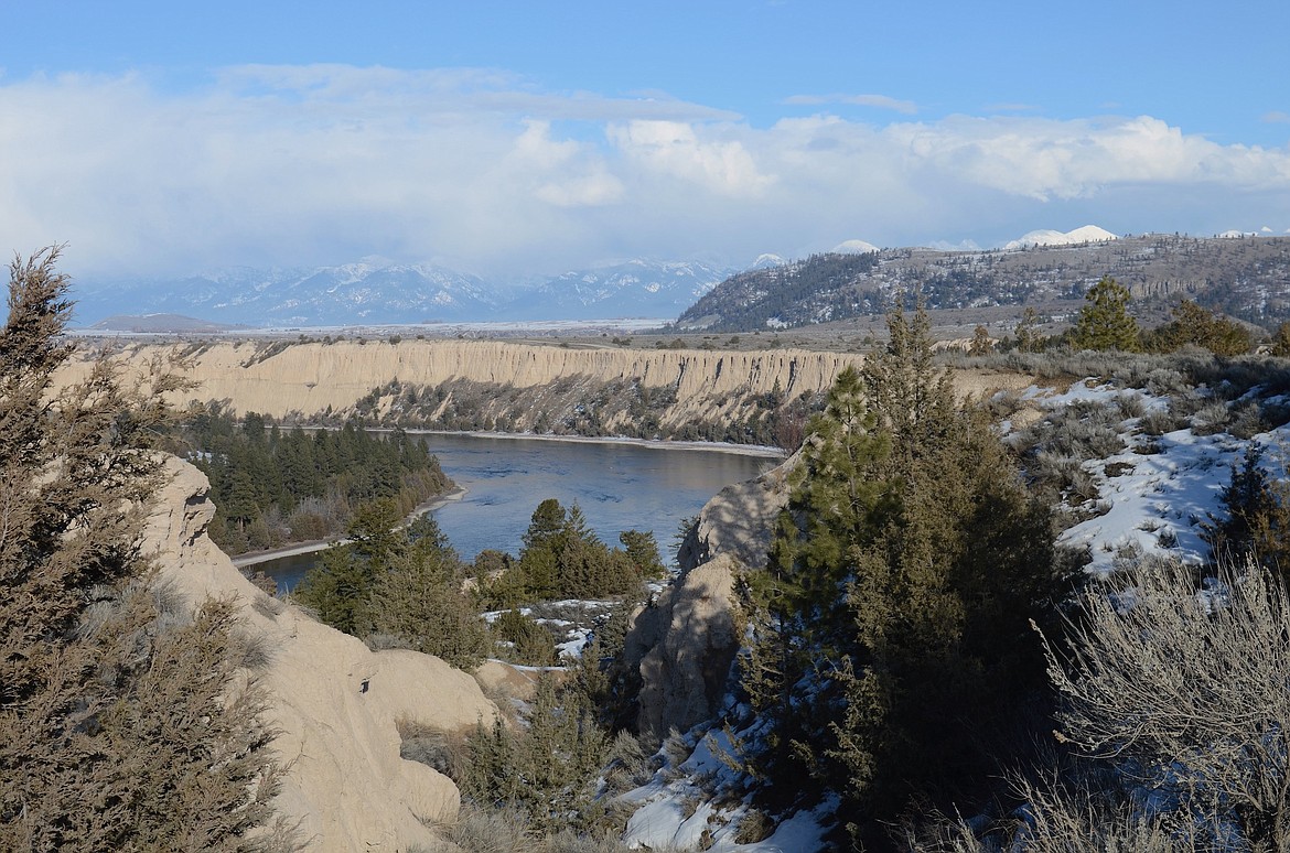
The Flathead River makes its way toward Sloan's Bridge. Precipitation, which will fuel spring run-off and fill rivers, streams and irrigation reservoirs, was 90% to 110% of normal in February. (Kristi Niemeyer/Leader)
“There were not many days in February in which it wasn’t snowing somewhere in Montana,” said Eric Larson, USDA Natural Resources Conservation Service (NRCS) Water Supply Specialist.
In addition to consistent precipitation during the month, there were a couple large storms that added to the totals. The most significant storm occurred near the end of the month, and similar to a late January storm, it delivered several feet of snow to Montana.
The largest storm totals accumulated in the Mission and Swan Mountain ranges, where over four inches of precipitation fell. Other mountain locations across Montana received about two to three inches of precipitation.
Overall, February precipitation was near- to well-above normal across most of Montana and northern Wyoming. The Smith-Judith-Musselshell region received over 150% of normal monthly precipitation, while basins in western Montana stretching from the Madison to the Kootenai River received about 90% to 110% of normal precipitation. All other basins were somewhere between that range, except for the Bitterroot which only received about 80% of normal February precipitation.
“As of March 1, most snowpack percentages have increased from last month. This was a timely rebound as many Montana river basins experienced a decrease in their snowpack percentage from January 1 to February 1,” said Larson.
Currently the snowpack is above normal in all basins east of the Continental Divide, except the Saint Mary River basin which is at about 90% of normal for March 1.
“River basins to keep an eye on over the next couple months are the Kootenai, Lower Clark Fork, Bitterroot, and Saint Mary. The basin-wide snowpack deficit in these basins currently ranges from three to six inches of snow-water equivalent,” said Larson.
These basins will need above normal precipitation over the next couple months, otherwise water supplies fueled by snowmelt will likely be below normal this spring.
With two months remaining to accumulate snowpack, forecasters are predicting water supplies will be within 10% of normal across most of the state. Exceptions are parts of central and southwest Montana, which due to abundant precipitation are currently forecasted to have above normal streamflows.
Alternatively, western Montana, along the Idaho border (Big Hole, Bitterroot, Lower Clark Fork), is forecasted to have below normal streamflows, which is the result of the below normal precipitation the region has experienced this water year.
“Keep in mind, snowpack conditions could change over the next couple months and therefore some uncertainty exists in the March 1 forecasts,” said Larson.
A full report of conditions on March 1 can be found in the monthly Water Supply Outlook Report available on the Montana Snow Survey website. In addition, real-time snow survey data can be found at nrcs.usda.gov/montana. Click on Montana Snow Survey Program.