Snowpack drops as stream flows increase
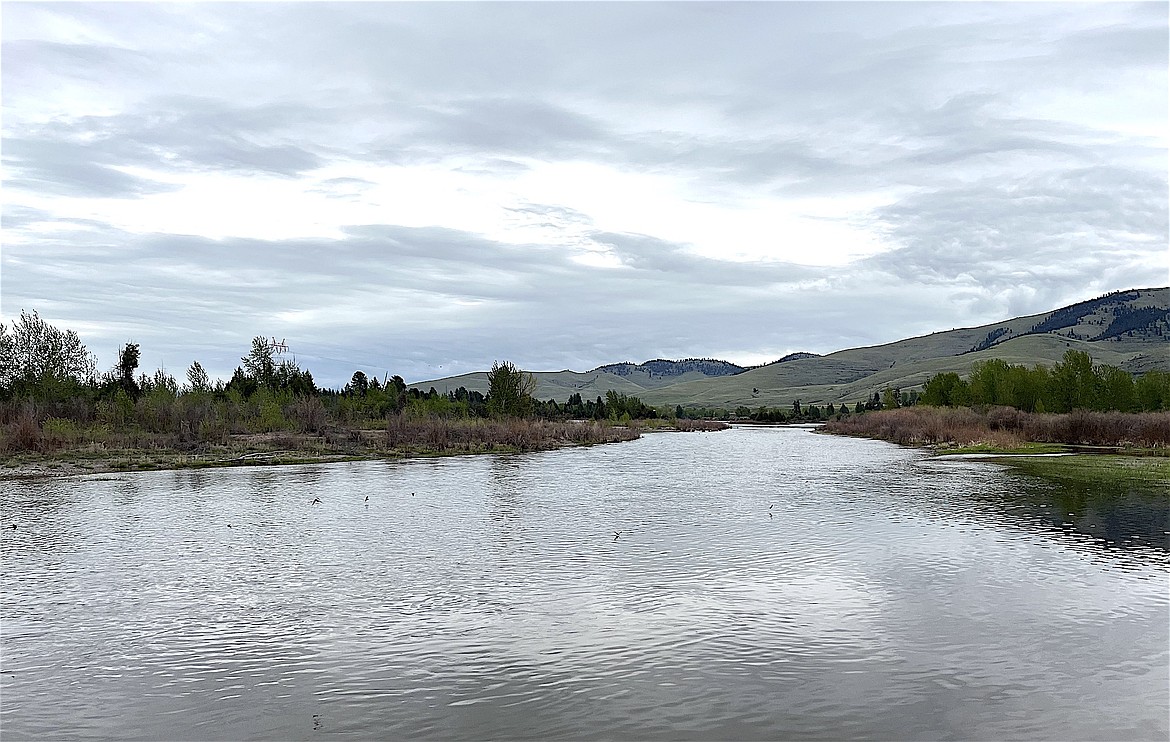
Swallows dive bomb the Flathead River near Dixon after a recent rain. (Kristi Niemeyer/Leader)
April ushered in the transition from winter to spring in the Montana snowpack accumulation season.
“Most SNOTEL sites have passed peak Snow Water Equivalent (SWE) accumulation for the season,” said Florence Miller, USDA Natural Resources Conservation Service (NRCS) Hydrologist.
Overall, SNOTEL sites reached near to below normal peak SWE. The timing of peak snowpack accumulation ranged from near normal to arriving 10 to 20 days early. This is reflected in the May 1 snowpack percentages, with southwest and central Montana snowpack at 95-110% of median and snowpack across the western portion of the state decreasing slightly from April 1 to 75-90% of median.
The Flathead Basin was at 86% while the Lower Clark Fork was at 85%.
Average temperatures across Montana for the month of April were near to slightly above normal.
“This was accentuated by several April warm spells that brought periods of above normal temperatures and initiated snowmelt across many low- to mid-elevation SNOTEL sites,” said Miller.
April precipitation varied across the state. The northwest portion of the state saw near normal April precipitation, while central and southwest Montana were below normal. April storms favored the Beartooth and Bighorn mountains, with their associated basins receiving above normal precipitation last month.
Water year-to-date precipitation is the cumulative precipitation received from Oct. 1 to Sept. 30. Across southwest and central Montana, those amounts are near normal. The northwest has yet to recover from its early precipitation deficit and is at 75-90% of median cumulative precipitation, with the Flathead Basin better than most at 91%.
“The shift to spring brought to a close the bulk of the snowpack accumulation season and started the snowmelt and runoff season,” said Miller.
Statewide snowpack densities are increasing, indicating a snowpack ripe for runoff. Many SNOTEL sites are beginning to melt with some lower elevation sites completely melted out.
Streamflow forecasts on May 1 reflect water year precipitation and current snowpack conditions and are near to below normal across much of the state, with some isolated pockets of above normal streamflow.
Most May-July streamflows are forecast to be between 70% and 110% of median, with the Flathead Valley predicted to be at near or slightly below normal stream volume with 80-100% of median.
Future weather will determine the nature this year’s snowmelt and runoff season. A cooler spring facilitating a gradual runoff and additional precipitation will help improve forecasted summer streamflow conditions. A warmer, drier spring promoting a rapid runoff will diminish the summer streamflow outlooks.
A full report of conditions on May 1 can be found in the monthly Water Supply Outlook Report available on the Montana Snow Survey website. In addition, real-time snow survey data can be found at nrcs.usda.gov/montana/snow-survey.